Land Development
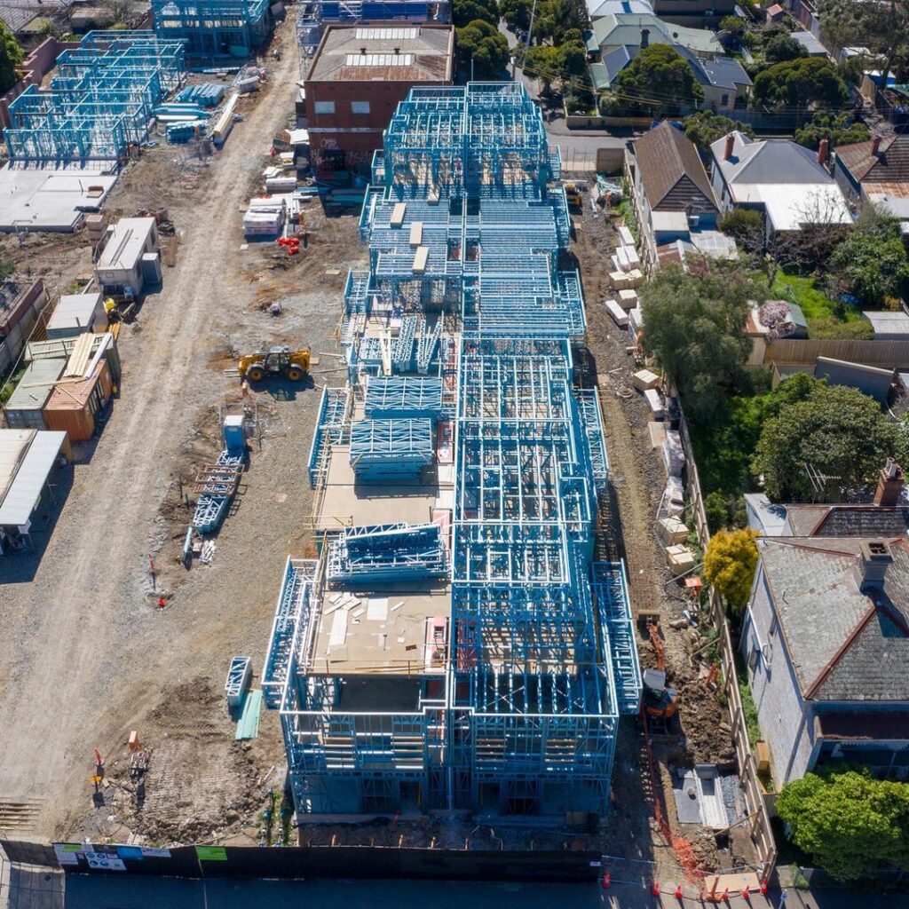
Intrax Land drives land development projects with end-to-end surveying, geotechnical, and civil engineering services. From lot yield planning to construction surveys, we optimize site potential while ensuring compliance with council requirements. Our GIS mapping, drone surveys, and NATA-accredited testing provide accurate, reliable data, reducing risks and accelerating approvals. With a national presence, we deliver coordinated, cost-effective solutions for developers, ensuring sustainable, high-value outcomes across residential, commercial, and mixed-use projects.